Moved to Forum: Original Link
I found these while planning a hike and it's a great resource.
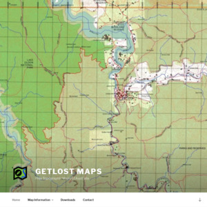
From the site:
Getlost Maps puts feature-rich topographical maps of Australia at your fingertips, completely FREE, for you to download and use any way you like.
- They cover all of Australia at various scales from 1:250,000 up to 1:25,000.
They will work on your iPhone, Android phone, tablet, iPad or laptop. Use them with OziExplorer, Avenza, Google Earth, or any of a dozen other bits of software, or just use them as images like a regular map. You can even print them out if you want, and use them on paper while you ride your horse and buggy to the store.
Use them in the car, on the bike, on a horse, in a whale, in a canoe, on your skis, on your feet, or on your bum sitting in front of the campfire, working out where to go tomorrow.
From the creator:
I hike, bike, 4WD, paddle, ride, hunt, cross country ski, snowshoe and generally get out and about any chance I get.
I originally built these maps because I wanted them to exist, for myself.
Then I thought, maybe you could get some use out of them too.
Now here we are.
Enjoy.
– Tommo Harrison
Most are 1:75 000 which is ok for planning but not much else.
I know Queensland has a free service to download 1:25 000 at QTOPO. Does any other state offer similar? Keen on stuff for Tassie.